
Cities close to Malunda
Cities, towns and suburbs near Malunda. Tapalang: 17 kilometers (10 miles), Mambi: 36 kilometers (22 miles), Mamuju: 37 kilometers (23 miles).
| Cities / towns / suburbs around Malunda | Kilometers | Miles |
|---|---|---|
| How far is Tapalang from Malunda | 17 | 10 |
| How far is Mambi from Malunda | 36 | 22 |
| How far is Mamuju from Malunda | 37 | 23 |
| How far is Somba from Malunda | 41 | 25 |
| How far is Allu from Malunda | 48 | 30 |
| How far is Petoosang from Malunda | 48 | 30 |
| How far is Galunggalung from Malunda | 53 | 33 |
| How far is Mamasa from Malunda | 58 | 36 |
| How far is Majene from Malunda | 60 | 37 |
| How far is Polewali from Malunda | 71 | 44 |
Closest airport to Malunda
| Airport | Kilometers | Miles |
|---|---|---|
| Pongtiku Airport (TTR) | 107.5 | 66.8 |
| Bua Airport (LLO) | 154.6 | 96.1 |
| Andi Jemma Airport (MXB) | 170.9 | 106.2 |
Location
Coordinates:
Latitude: 3°0′46″S
Longitude: 118°51′21″E
Map
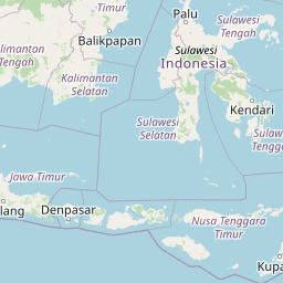
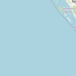
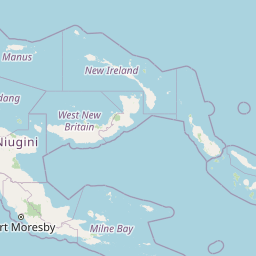

Leaflet | © OpenStreetMap contributors
Time
Current local time in Malunda:
Time: 22:28 WITA
Date: 2025-03-22
Sunrise and Sunset
| Date | Sunrise | Sunset |
|---|---|---|
| 2025-03-22 (Today) | 06:07 | 18:15 |
| 2025-03-23 (Tomorrow) | 06:06 | 18:15 |
| 2025-03-24 | 06:06 | 18:14 |
| 2025-03-25 | 06:06 | 18:14 |
| 2025-03-26 | 06:06 | 18:14 |
| 2025-03-27 | 06:06 | 18:13 |
| 2025-03-28 | 06:05 | 18:13 |