
Cities close to Ketahun
Cities, towns and suburbs near Ketahun. Lais: 28 kilometers (18 miles), Argamakmur: 39 kilometers (25 miles), Tubei: 50 kilometers (31 miles).
| Cities / towns / suburbs around Ketahun | Kilometers | Miles |
|---|---|---|
| How far is Lais from Ketahun | 28 | 18 |
| How far is Argamakmur from Ketahun | 39 | 25 |
| How far is Tubei from Ketahun | 50 | 31 |
| How far is Ipuh from Ketahun | 58 | 36 |
| How far is Bengkulu from Ketahun | 66 | 41 |
| How far is Karang Tinggi from Ketahun | 77 | 48 |
| How far is Curup from Ketahun | 77 | 48 |
| How far is Kepahiang from Ketahun | 86 | 54 |
| How far is Jangkat from Ketahun | 101 | 63 |
| How far is Padangulaktanding from Ketahun | 107 | 67 |
Closest airport to Ketahun
| Airport | Kilometers | Miles |
|---|---|---|
| Fatmawati Soekarno Airport (BKS) | 76.9 | 47.8 |
| Departi Parbo Airport (KRC) | 150.0 | 93.2 |
| Pendopo Airport (PDO) | 227.5 | 141.4 |
Location
Coordinates:
Latitude: 3°23′22″S
Longitude: 101°50′6″E
Map
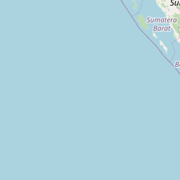
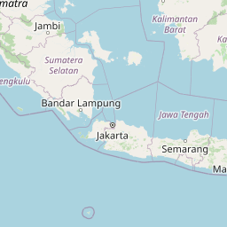

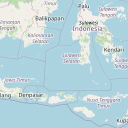

Leaflet | © OpenStreetMap contributors
Time
Current local time in Ketahun:
Time: 21:57 WIB
Date: 2025-03-21
Sunrise and Sunset
| Date | Sunrise | Sunset |
|---|---|---|
| 2025-03-21 (Today) | 06:15 | 18:24 |
| 2025-03-22 (Tomorrow) | 06:15 | 18:23 |
| 2025-03-23 | 06:15 | 18:23 |
| 2025-03-24 | 06:14 | 18:22 |
| 2025-03-25 | 06:14 | 18:22 |
| 2025-03-26 | 06:14 | 18:22 |
| 2025-03-27 | 06:14 | 18:21 |