
Cities close to Gajrug
Cities, towns and suburbs near Gajrug. Muncang: 10 kilometers (6 miles), Leuwidamar: 21 kilometers (13 miles), Rangkasbitung: 24 kilometers (15 miles).
| Cities / towns / suburbs around Gajrug | Kilometers | Miles |
|---|---|---|
| How far is Muncang from Gajrug | 10 | 6 |
| How far is Leuwidamar from Gajrug | 21 | 13 |
| How far is Rangkasbitung from Gajrug | 24 | 15 |
| How far is Bojongmanik Girang from Gajrug | 24 | 15 |
| How far is Sajir from Gajrug | 33 | 20 |
| How far is Gunungkencana from Gajrug | 34 | 21 |
| How far is Warungbanten from Gajrug | 34 | 21 |
| How far is Kadugedong from Gajrug | 36 | 22 |
| How far is Tigaraksa from Gajrug | 36 | 23 |
| How far is Kaburon from Gajrug | 39 | 24 |
Closest airport to Gajrug
| Airport | Kilometers | Miles |
|---|---|---|
| Soekarno–Hatta International Airport (CGK) | 54.1 | 33.6 |
| Halim Perdanakusuma International Airport (HLP) | 63.6 | 39.5 |
| Husein Sastranegara International Airport (BDO) | 138.6 | 86.1 |
Location
Coordinates:
Latitude: 6°31′37″S
Longitude: 106°22′47″E
Map
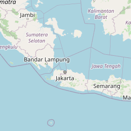


Leaflet | © OpenStreetMap contributors
Time
Current local time in Gajrug:
Time: 03:51 WIB
Date: 2025-02-19
Sunrise and Sunset
| Date | Sunrise | Sunset |
|---|---|---|
| 2025-02-19 (Today) | 05:58 | 18:17 |
| 2025-02-20 (Tomorrow) | 05:58 | 18:17 |
| 2025-02-21 | 05:58 | 18:17 |
| 2025-02-22 | 05:58 | 18:17 |
| 2025-02-23 | 05:58 | 18:16 |
| 2025-02-24 | 05:58 | 18:16 |
| 2025-02-25 | 05:58 | 18:16 |