
Cities close to Kultali
Cities, towns and suburbs near Kultali. Bhubaneshwar: 322 kilometers (200 miles), Ranchi: 355 kilometers (221 miles), Agartala: 365 kilometers (227 miles).
| Cities / towns / suburbs around Kultali | Kilometers | Miles |
|---|---|---|
| How far is Bhubaneshwar from Kultali | 322 | 200 |
| How far is Ranchi from Kultali | 355 | 221 |
| How far is Agartala from Kultali | 365 | 227 |
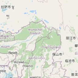
| How far is Aizawl from Kultali | 487 | 303 |
| How far is Jalpāiguri from Kultali | 514 | 320 |
| How far is Patna from Kultali | 528 | 328 |
| How far is Shillong from Kultali | 540 | 336 |
| How far is Dispur from Kultali | 584 | 363 |
| How far is Gangtok from Kultali | 604 | 375 |
| How far is Mushalpur from Kultali | 604 | 375 |
Closest airport to Kultali
| Airport | Kilometers | Miles |
|---|---|---|
| Netaji Subhas Chandra Bose International Airport (CCU) | 84.2 | 52.3 |
| Jessore Airport (JSR) | 162.9 | 101.2 |
| Barisal Airport (BZL) | 219.9 | 136.7 |
Location
Coordinates:
Latitude: 21°54′0″N
Longitude: 88°24′0″E
Map


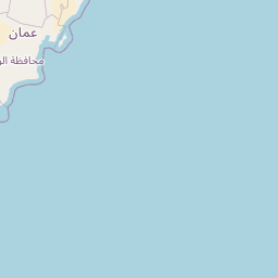

Leaflet | © OpenStreetMap contributors
Time
Current local time in Kultali:
Time: 18:13 IST
Date: 2025-02-19
Sunrise and Sunset
| Date | Sunrise | Sunset |
|---|---|---|
| 2025-02-19 (Today) | 06:03 | 17:36 |
| 2025-02-20 (Tomorrow) | 06:02 | 17:37 |
| 2025-02-21 | 06:02 | 17:37 |
| 2025-02-22 | 06:01 | 17:38 |
| 2025-02-23 | 06:00 | 17:38 |
| 2025-02-24 | 05:59 | 17:39 |
| 2025-02-25 | 05:59 | 17:39 |