
Cities close to Likasi
Cities, towns and suburbs near Likasi. Kolwezi: 142 kilometers (88 miles), Kamina: 314 kilometers (195 miles), Mbuji-Mayi: 641 kilometers (398 miles).
| Cities / towns / suburbs around Likasi | Kilometers | Miles |
|---|---|---|
| How far is Kolwezi from Likasi | 142 | 88 |
| How far is Kamina from Likasi | 314 | 195 |
| How far is Mbuji-Mayi from Likasi | 641 | 398 |
| How far is Kananga from Likasi | 739 | 459 |
| How far is Lusambo from Likasi | 760 | 472 |
| How far is Tshikapa from Likasi | 827 | 514 |
| How far is Luebo from Likasi | 857 | 532 |
| How far is Kindu from Likasi | 898 | 558 |
| How far is Bukavu from Likasi | 972 | 604 |
Closest airport to Likasi
| Airport | Kilometers | Miles |
|---|---|---|
| Lubumbashi International Airport (FBM) | 109.9 | 68.3 |
| Kolwezi Airport (KWZ) | 136.9 | 85.1 |
| Solwezi Airport (SLI) | 138.7 | 86.2 |
Distance from Likasi to other municipalities
| Municipality | Kilometers | Miles |
|---|---|---|
| How far is Mbandaka from Likasi | 1 544 | 959 |
| How far is Uvira from Likasi | 884 | 549 |
| How far is Kisangani from Likasi | 1 290 | 802 |
| How far is Kindu from Likasi | 898 | 558 |
| How far is Kananga from Likasi | 739 | 459 |
| How far is Ilebo from Likasi | 1 003 | 623 |
| How far is Gemena from Likasi | 1 761 | 1 094 |
| How far is Boma from Likasi | 1 609 | 1 000 |
Location
Coordinates:
Latitude: 10°58′58″S
Longitude: 26°44′18″E
Map
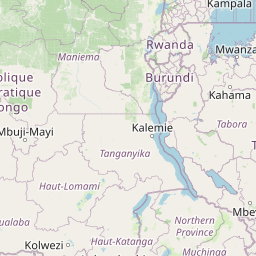


Leaflet | © OpenStreetMap contributors
Time
Current local time in Likasi:
Time: 10:43 CAT
Date: 2025-02-19
Sunrise and Sunset
| Date | Sunrise | Sunset |
|---|---|---|
| 2025-02-19 (Today) | 06:13 | 18:40 |
| 2025-02-20 (Tomorrow) | 06:13 | 18:39 |
| 2025-02-21 | 06:13 | 18:39 |
| 2025-02-22 | 06:14 | 18:38 |
| 2025-02-23 | 06:14 | 18:38 |
| 2025-02-24 | 06:14 | 18:38 |
| 2025-02-25 | 06:14 | 18:37 |