
Cities close to Losenstein
Cities, towns and suburbs near Losenstein. Laussa: 3 kilometers (2 miles), Reichraming: 5 kilometers (3 miles), Ternberg: 6 kilometers (4 miles).
Closest airport to Losenstein
| Airport | Kilometers | Miles |
|---|---|---|
| Linz Airport (LNZ) | 39.1 | 24.3 |
| Salzburg Airport (SZG) | 108.0 | 67.1 |
| Graz Airport (GRZ) | 128.4 | 79.8 |
Location
Coordinates:
Latitude: 47°55′27″N
Longitude: 14°26′12″E
Map


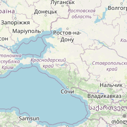

Leaflet | © OpenStreetMap contributors
Time
Current local time in Losenstein:
Time: 10:53 CET
Date: 2025-02-20
Sunrise and Sunset
| Date | Sunrise | Sunset |
|---|---|---|
| 2025-02-20 (Today) | 06:57 | 17:34 |
| 2025-02-21 (Tomorrow) | 06:55 | 17:35 |
| 2025-02-22 | 06:53 | 17:37 |
| 2025-02-23 | 06:52 | 17:38 |
| 2025-02-24 | 06:50 | 17:40 |
| 2025-02-25 | 06:48 | 17:42 |
| 2025-02-26 | 06:46 | 17:43 |