
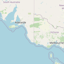
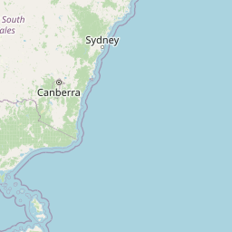
Cities close to Yarrawonga
Cities, towns and suburbs near Yarrawonga. Melbourne: 220 kilometers (137 miles), Canberra: 294 kilometers (183 miles), Katoomba: 469 kilometers (291 miles).
| Cities / towns / suburbs around Yarrawonga | Kilometers | Miles |
|---|---|---|
| How far is Melbourne from Yarrawonga | 220 | 137 |
| How far is Canberra from Yarrawonga | 294 | 183 |
| How far is Katoomba from Yarrawonga | 469 | 291 |
| How far is Currie from Yarrawonga | 474 | 294 |
| How far is Liverpool from Yarrawonga | 505 | 314 |
| How far is Parramatta from Yarrawonga | 518 | 322 |
| How far is Loxton from Yarrawonga | 523 | 325 |
| How far is Sydney from Yarrawonga | 531 | 330 |
| How far is Maitland from Yarrawonga | 627 | 390 |
| How far is Koomooloo from Yarrawonga | 656 | 408 |
Closest airport to Yarrawonga
| Airport | Kilometers | Miles |
|---|---|---|
| Albury Airport (ABX) | 86.4 | 53.7 |
| Narrandera Airport (NRA) | 153.8 | 95.6 |
| Wagga Wagga Airport (WGA) | 163.3 | 101.4 |
Distance from Yarrawonga to other municipalities
| Municipality | Kilometers | Miles |
|---|---|---|
| How far is Lavington from Yarrawonga | 85 | 53 |
| How far is Wagga Wagga from Yarrawonga | 158 | 98 |
| How far is Tamworth from Yarrawonga | 713 | 443 |
| How far is Heathcote from Yarrawonga | 504 | 313 |
| How far is Gladstone from Yarrawonga | 1 444 | 897 |
| How far is Blacktown from Yarrawonga | 514 | 319 |
Location
Coordinates:
Latitude: 36°1′9″S
Longitude: 145°59′59″E
Map


Leaflet | © OpenStreetMap contributors
Time
Current local time in Yarrawonga:
Time: 03:26 AEDT
Date: 2025-03-22
Sunrise and Sunset
| Date | Sunrise | Sunset |
|---|---|---|
| 2025-03-22 (Today) | 07:19 | 19:26 |
| 2025-03-23 (Tomorrow) | 07:20 | 19:24 |
| 2025-03-24 | 07:21 | 19:23 |
| 2025-03-25 | 07:21 | 19:22 |
| 2025-03-26 | 07:22 | 19:20 |
| 2025-03-27 | 07:23 | 19:19 |
| 2025-03-28 | 07:24 | 19:17 |