
Cities close to Bejaïa
Cities, towns and suburbs near Bejaïa. Jijel: 61 kilometers (38 miles), Ait Yahia: 69 kilometers (43 miles), Sétif: 69 kilometers (43 miles).
| Cities / towns / suburbs around Bejaïa | Kilometers | Miles |
|---|---|---|
| How far is Jijel from Bejaïa | 61 | 38 |
| How far is Ait Yahia from Bejaïa | 69 | 43 |
| How far is Sétif from Bejaïa | 69 | 43 |
| How far is Bordj Bou Arreridj from Bejaïa | 81 | 50 |
| How far is Tizi Ouzou from Bejaïa | 93 | 58 |
| How far is Mila from Bejaïa | 111 | 69 |
| How far is Bouïra from Bejaïa | 114 | 71 |
| How far is M’Sila from Bejaïa | 126 | 79 |
| How far is Boumerdas from Bejaïa | 143 | 89 |
| How far is Constantine from Bejaïa | 143 | 89 |
Closest airport to Bejaïa
| Airport | Kilometers | Miles |
|---|---|---|
| Abane Ramdane Airport (BJA) | 5.0 | 3.1 |
| Ain Arnat Airport (QSF) | 67.8 | 42.1 |
| Jijel Ferhat Abbas Airport (GJL) | 70.5 | 43.8 |
Distance from Bejaïa to other municipalities
| Municipality | Kilometers | Miles |
|---|---|---|
| How far is Boumerdas from Bejaïa | 143 | 89 |
| How far is Tébessa from Bejaïa | 312 | 194 |
| How far is Sétif from Bejaïa | 69 | 43 |
| How far is El Achir from Bejaïa | 87 | 54 |
| How far is Djelfa from Bejaïa | 284 | 176 |
| How far is Biskra from Bejaïa | 220 | 137 |
| How far is Batna from Bejaïa | 165 | 103 |
Location
Coordinates:
Latitude: 36°45′21″N
Longitude: 5°5′3″E
Map
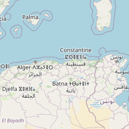


Leaflet | © OpenStreetMap contributors
Time
Current local time in Bejaïa:
Time: 15:28 CET
Date: 2025-03-21
Sunrise and Sunset
| Date | Sunrise | Sunset |
|---|---|---|
| 2025-03-21 (Today) | 06:39 | 18:53 |
| 2025-03-22 (Tomorrow) | 06:38 | 18:54 |
| 2025-03-23 | 06:36 | 18:55 |
| 2025-03-24 | 06:35 | 18:56 |
| 2025-03-25 | 06:34 | 18:57 |
| 2025-03-26 | 06:32 | 18:57 |
| 2025-03-27 | 06:31 | 18:58 |