
Cities close to Elbasan
Cities, towns and suburbs near Elbasan. Bradashesh: 5 kilometers (3 miles), Shushicë: 6 kilometers (4 miles), Labinot-Fushë: 6 kilometers (4 miles).
Closest airport to Elbasan
| Airport | Kilometers | Miles |
|---|---|---|
| Tirana International Airport Nënë Tereza (TIA) | 45.2 | 28.1 |
| Ohrid St. Paul the Apostle Airport (OHD) | 55.8 | 34.7 |
| Kastoria National Airport (KSO) | 125.4 | 77.9 |
Distance from Elbasan to other municipalities
| Municipality | Kilometers | Miles |
|---|---|---|
| How far is Pogradec from Elbasan | 53 | 33 |
| How far is Çorovodë from Elbasan | 69 | 43 |
| How far is Vlorë from Elbasan | 87 | 54 |
| How far is Tirana from Elbasan | 33 | 20 |
| How far is Shkodër from Elbasan | 116 | 72 |
| How far is Shijak from Elbasan | 50 | 31 |
Location
Coordinates:
Latitude: 41°6′45″N
Longitude: 20°4′55″E
Map


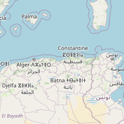

Leaflet | © OpenStreetMap contributors
Time
Current local time in Elbasan:
Time: 22:19 CET
Date: 2025-02-19
Sunrise and Sunset
| Date | Sunrise | Sunset |
|---|---|---|
| 2025-02-19 (Today) | 06:26 | 17:20 |
| 2025-02-20 (Tomorrow) | 06:25 | 17:21 |
| 2025-02-21 | 06:24 | 17:22 |
| 2025-02-22 | 06:22 | 17:23 |
| 2025-02-23 | 06:21 | 17:24 |
| 2025-02-24 | 06:19 | 17:26 |
| 2025-02-25 | 06:18 | 17:27 |